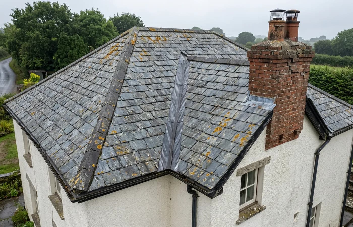
Building and roof survey
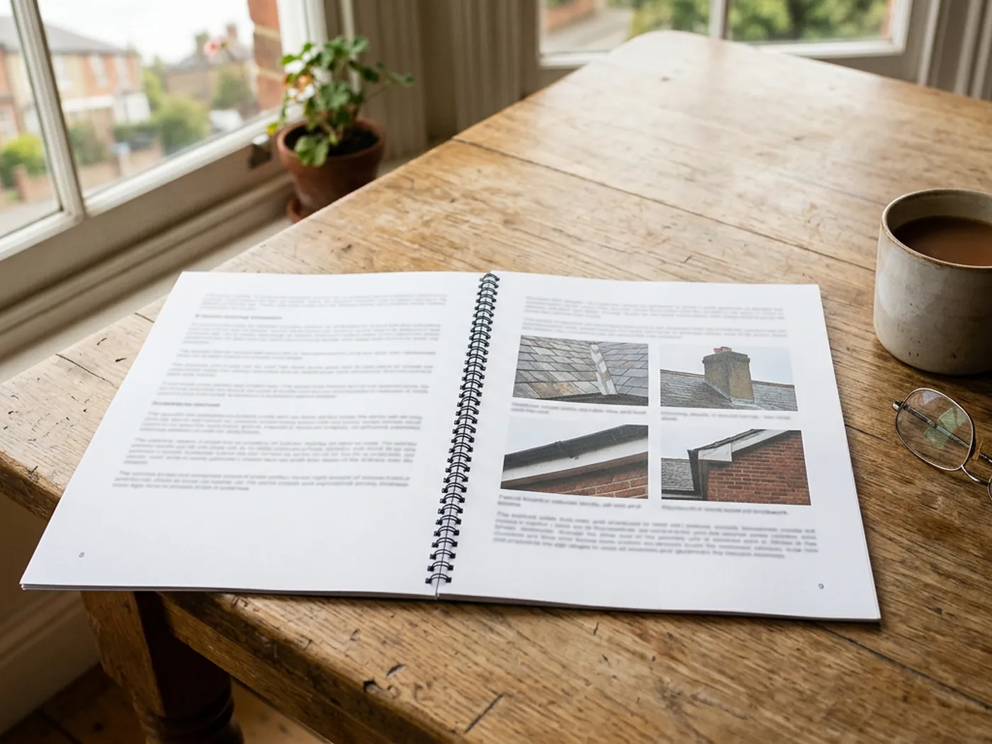
One building photographed from the air in detail, ridge to gutters, and written up so the condition of the parts nobody can reach is on the record.
Building and roofExeter, Devon and the South West
Most people reading this have been told they need one and have no idea what that means. So here is the plain version first. If it turns out you do need one, the price is fixed before anybody turns up.
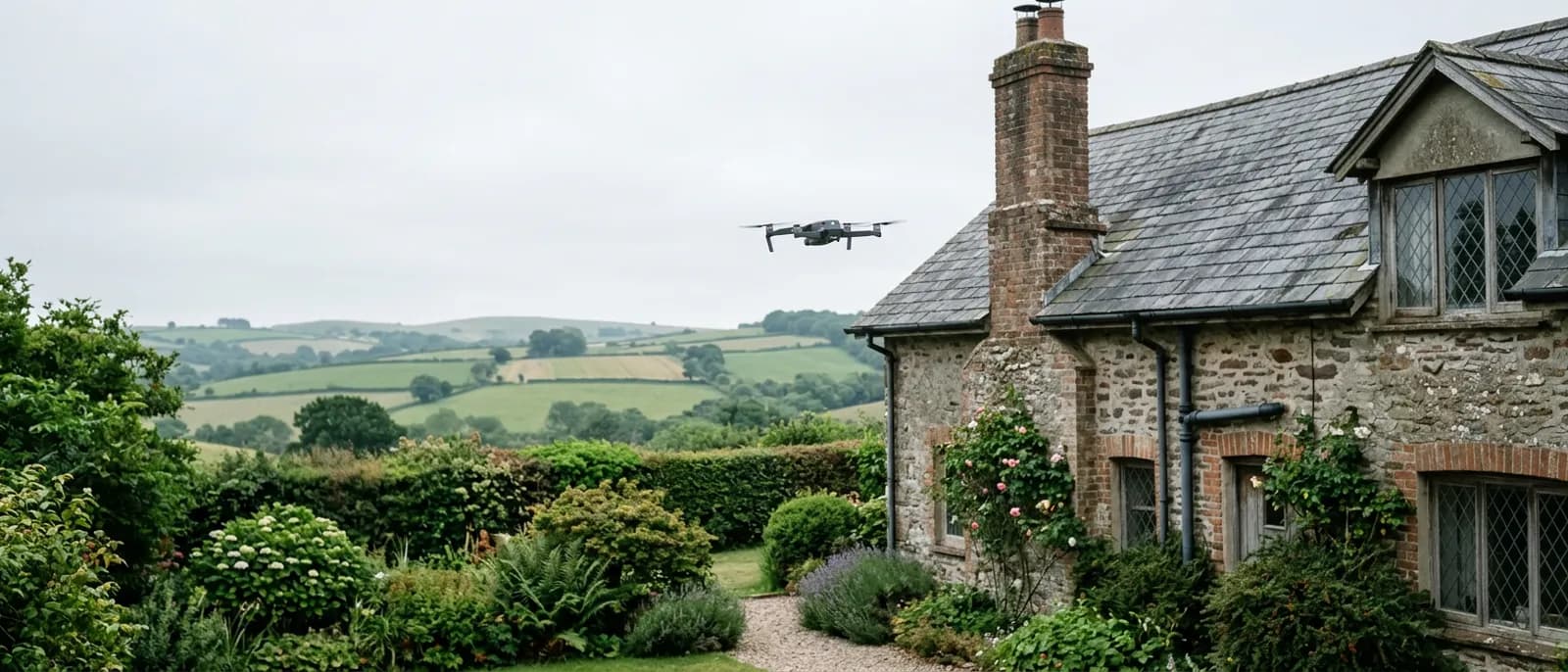
A drone survey is a set of photographs taken from the air of a building or a piece of land, and a written report that explains what those photographs show.
Start here
It might have been an estate agent, a roofer who could not get up there, an insurer asking for evidence, a solicitor part way through a sale, or a neighbour who had one done. Whoever said it, they probably said it as though you already knew what it meant.
The short version is that a camera goes up on a small aircraft, takes a careful set of photographs of the parts of your building or your land that nobody can easily reach, and somebody writes down what those photographs show. That is the whole of it. There is no scanner, no x-ray and nothing that sees through a wall.
What that gets you is evidence. Instead of a roofer telling you there is a problem at the back of the chimney and you taking it on trust, you have a photograph of the back of the chimney, dated, that you can put in front of two more roofers and get comparable prices for. That is usually why people end up wanting one, even when they came to it for a different reason.
The three jobs
One building photographed from the air in detail, ridge to gutters, and written up so the condition of the parts nobody can reach is on the record.
Building and roof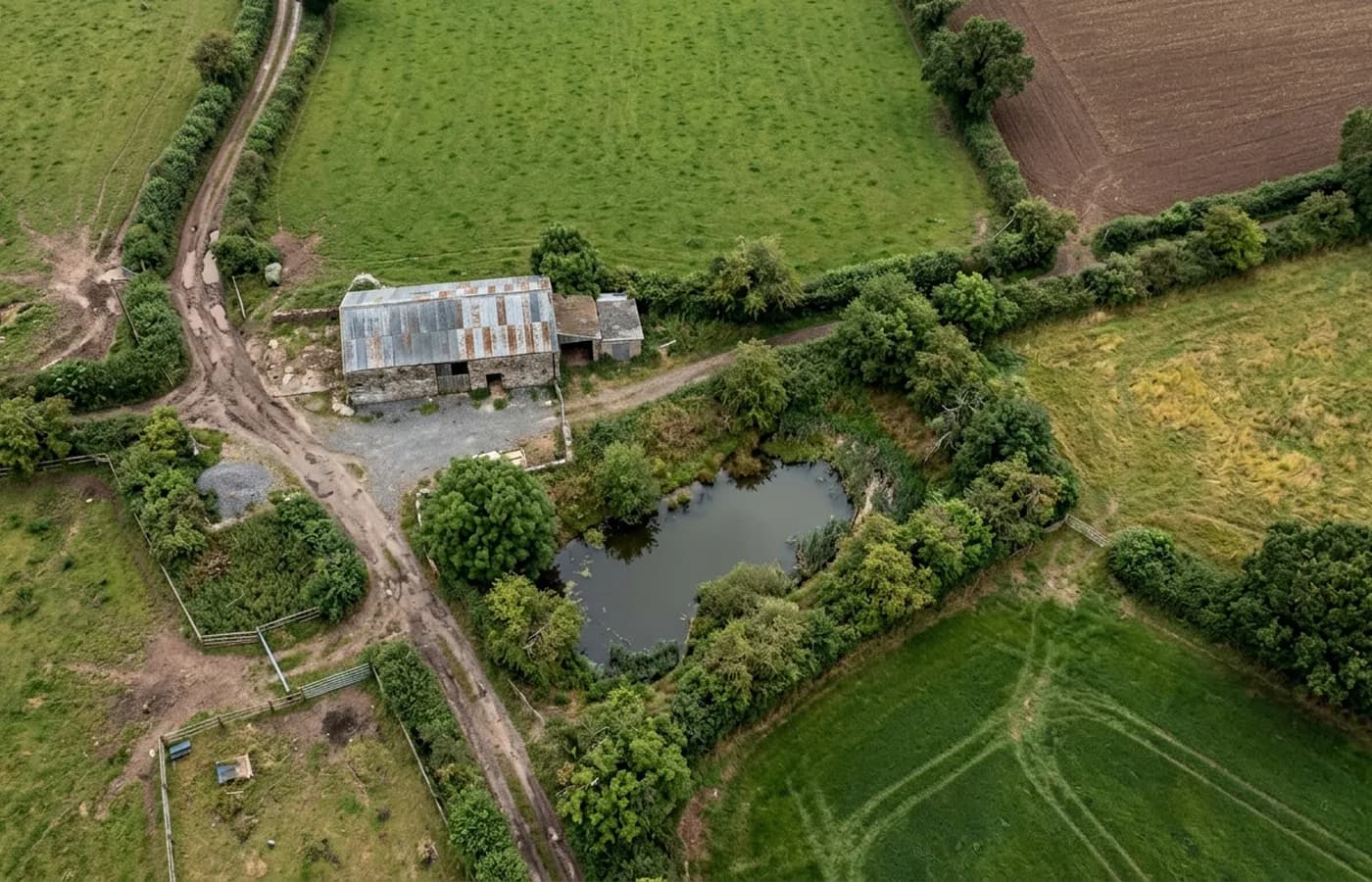
A field, a yard, a paddock or a development plot photographed from directly above and stitched into one flat image, so an area can be seen and shared.
Land and site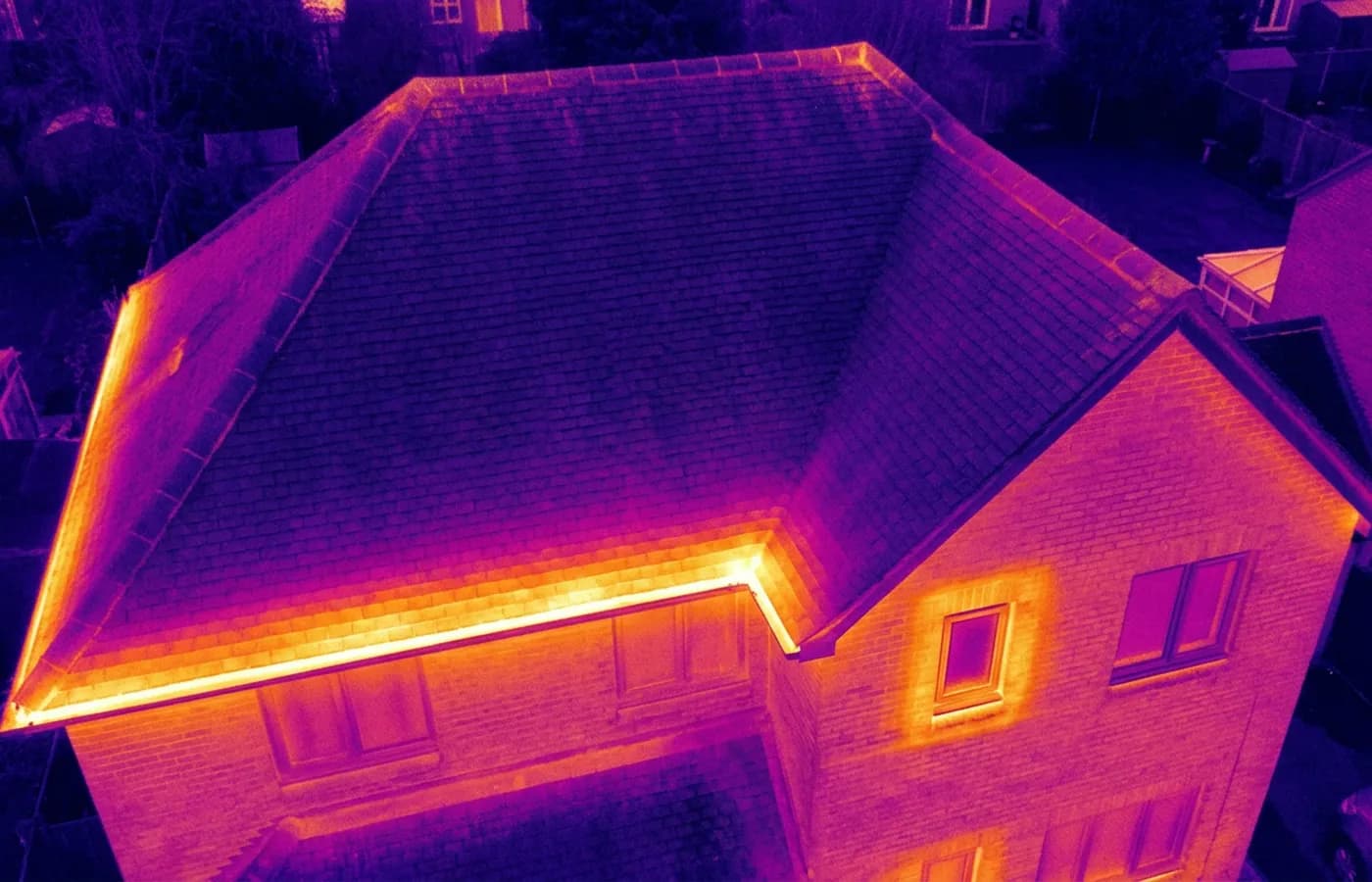
A radiometric thermal camera flown over a building to show where heat is leaving it and where moisture is sitting, which an ordinary camera cannot show.
ThermalCredentials
Registered with the Civil Aviation Authority as an operator, with both an Operator ID and a Flyer ID held. Anybody flying a camera drone for you should hold both.
The qualification that covers flying closer to buildings and to people than the basic rules allow. It is not a GVC and this site does not claim one.
Commercial flights are covered by a Coverdrone policy. A copy of the certificate is available on request, and most managing agents will ask for it.
Sam Hembury plans and flies every job himself and writes up every report. There is no crew and no subcontractor, so the person you speak to is the person who turns up.
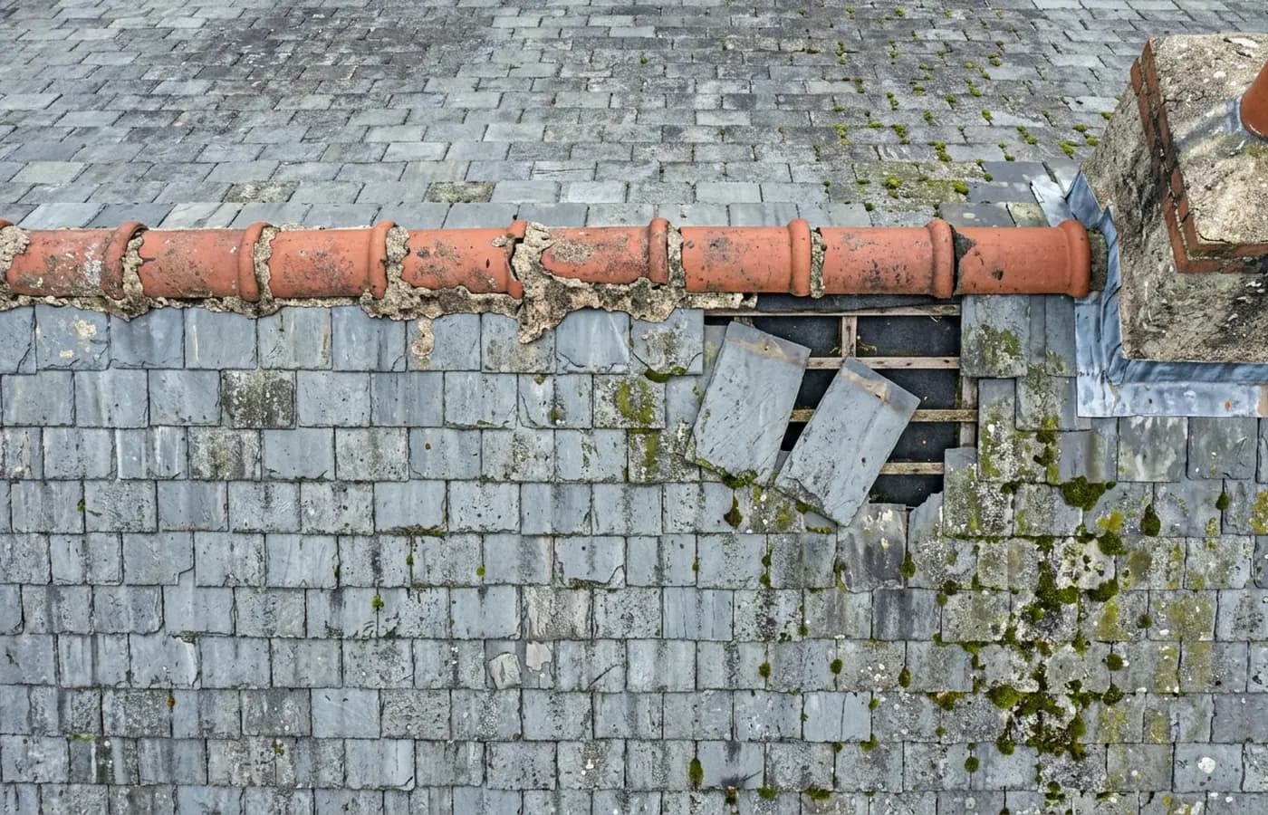
A 100 megapixel Hasselblad camera and 6K video. That resolution is the reason a cracked mortar joint is readable in a photograph taken from twenty metres away.
Carries a 640 by 512 radiometric thermal camera alongside the ordinary one, which is a different job: heat and moisture rather than condition.
The written report follows the flight within 48 hours. It is a process commitment rather than a promise about what the report will find.
The reports are written by somebody who worked in construction before flying, so a defect is described in the words a builder or a roofer will use back to you.
What you get
What the camera sees
Where we fly
Questions
Elsewhere
See what it costs
Tell us the address and what you need looking at. Sam Hembury will come back with a fixed price and the next available slot.